Filed November 9, 2026
Wet hole or fertility zone: reading a biomass map right
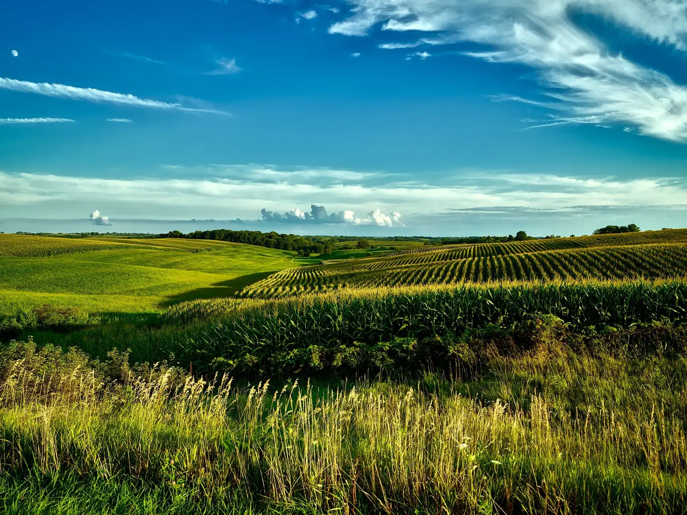
You pull up the biomass layer, there's a dark patch in the northwest forty, and the question that matters is whether that patch is low fertility or just low ground. Write a seed and fertilizer bump into a wet hole and you've wasted product on dirt that's going to drown half the years anyway. Miss a real fertility zone because you assumed it was drainage, and the grower's leaving yield on the table every season you don't fix it. The difference shows up in the shape, the timing, and what the layer does across the season, more than any single pass can show.
Shape tells you more than color
A drainage-driven low spot almost always has a shape that matches the land, not the crop. Look for a boundary that follows a swale, a tile line, an old waterway, or the low side of a terrace. These edges are usually curved and organic, and they repeat in the same footprint field after field if you've farmed that ground a few years. A real fertility zone, by contrast, tends to have edges that don't care about topography at all. It'll cut across a slope, stop at an old fence line, or follow a soil type boundary that has nothing to do with where water pools. If you overlay the biomass map against a topo layer or last year's yield map and the low-vigor patch lines up neatly with the wettest-looking ground, that's your first clue it's drainage, not fertility.
The other tell is size and crispness. Wet holes tend to be tight, with a hard edge where the standing water line was. Fertility zones usually have a softer gradient, fading out over twenty or thirty feet rather than snapping from green to brown.
One pass lies, several passes don't
A single biomass pass taken after a wet spring flags every pothole on the farm, because the crop in those spots is stressed that week, regardless of what the soil underneath can do in a normal year. Pull the same zone across three or four passes through the season instead of reading one, and watch what it does. A wet hole usually recovers once the water's gone, or it's late emerging and then catches up by R1. A true fertility zone stays flat and low the whole way through, because the constraint isn't moisture timing. It's nutrient-holding capacity, CEC, organic matter, or something structural in that ground that isn't going away with a dry week. Drainage problems are episodic, fertility problems are consistent.
If you've got access to a tool that stacks weekly vigor gradients over the season rather than a single flyover, this gets a lot easier to see at a glance. A per-zone prescription built from that kind of in-season stacking is the whole reason to look at more than one pass before you cut rates, instead of reacting to whatever the crop looks like the week the plane went up.
Ground-truth before the rate goes in
None of this replaces walking the spot. Before you write a VR zone around any low-biomass patch, especially a new one you haven't seen before on that farm, pull a few soil cores from inside the boundary and a few from outside it. If the texture, OM, and CEC numbers come back close to the surrounding ground, you're looking at drainage, and the rate script should either leave that zone alone or dial it down for standing-water risk, not fertility. If the cores come back genuinely different, lower CEC, lighter texture, thinner topsoil, you've got a real zone and the script should treat it as one.
A biomass map points you to where to look. The rate written into the script comes from what you find on the ground, and that's what the grower is paying for.
If you're building scripts off weekly imagery already and want the season's gradients turned into a zone file instead of eyeballing it pass by pass, that's the problem Field Variability is built to solve.